An Experiential Learning Trip to Gangani: The Grand Canyon of Bengal
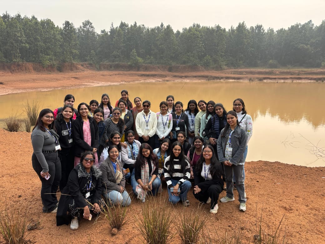
The students of the Department of Geography embarked on an enlightening educational experiential learning trip to Gangani in Garhbeta, West Bengal, with the objective of providing students hands-on exposure to geomorphological concepts studied in the classroom. The field study was conducted under the expert guidance of Dr. K. Bannerjee and Dr. D. Sinha which was focused on the Gangani Badlands, a quintessential example of badland topography within the Rarh region.
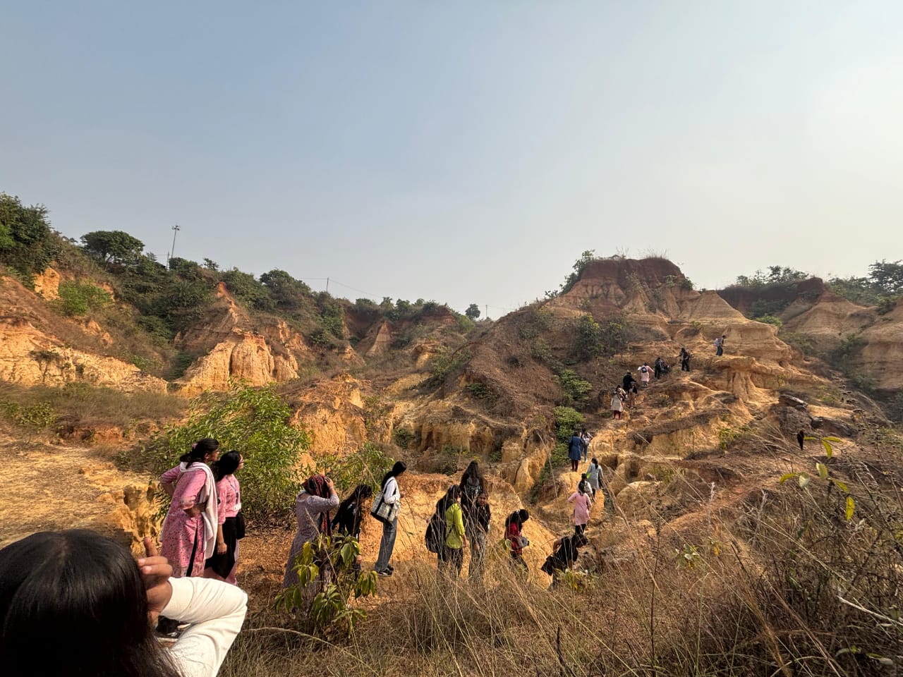
The students commenced their journey from Santragachi Junction at 8:00 a.m. reaching Garhbeta at approximately 11:40 a.m. Upon arrival, the group proceeded to the Gangani site for an in-depth field survey and experiential learning exercise. At the site, students were introduced to the striking badland landscape, characterized by intricately dissected gullies, sharp ridges, steep slopes, and a paucity of vegetation.
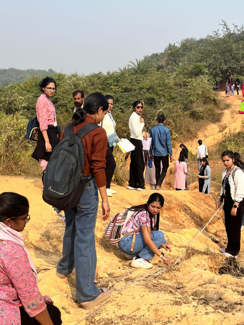
The class was divided into two groups to conduct field measurements, employing abney level survey technique to measure the angle of elevation and depression along two distinct slope profiles. These measurements enabled students to analyze slope gradients and infer the direction and path of river flow. The professors provided a comprehensive explanation of the geomorphological evolution of the Rarh region, bridging the gap between theoretical concepts and field observations. They elucidated that the Rarh region represents an ancient erosional surface developed over lateritic and sedimentary formations, shaped by prolonged denudation under a tropical monsoon climate. The presence of a laterite caprock at the uppermost levels was highlighted as a pivotal factor controlling landform development.
The professors further explained that the interplay of gully, rill, and sheet erosion has sculpted the badland topography at Gangani. During periods of heavy rainfall, sheet erosion uniformly removes topsoil while rill erosion creates nascent channels that gradually evolve into deep gullies. Over time these processes dissect the landscape into narrow ridges and steep-sided ravines, yielding the rugged badland terrain.
On the second day, students were divided into groups to conduct a market and tourism survey around the guest house. One group conducted a survey in a guest house engaging with the manager and tourists to gather valuable insights. Another group visited the pioneering Garhbeta Ice and Cold Storage, the first potato storage facility in West Bengal, where the manager provided a comprehensive tour of the facility, elucidating the intricacies of the storage process.
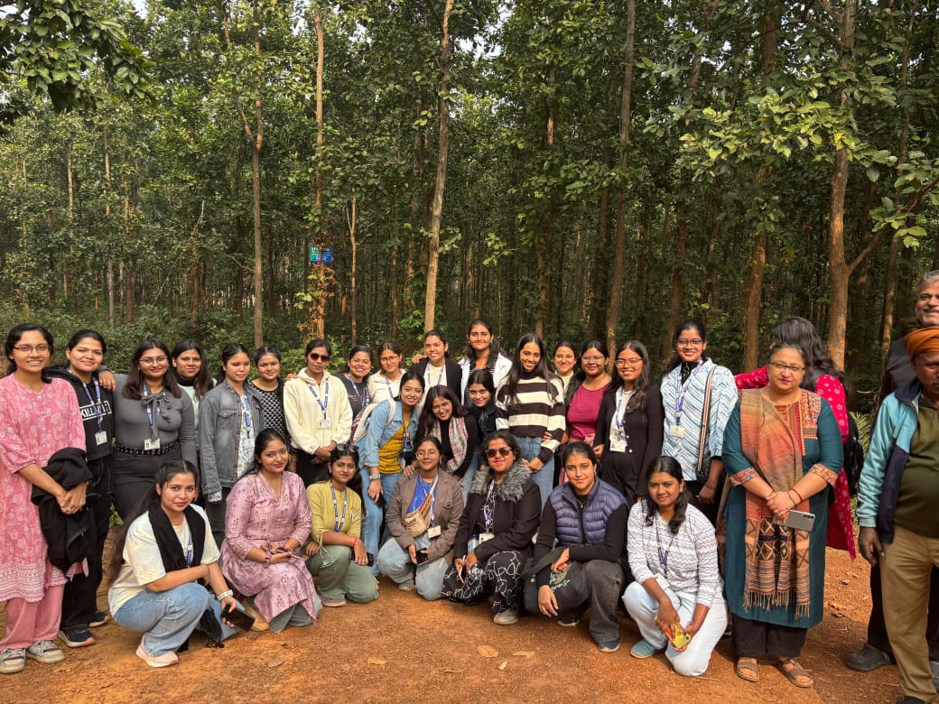
The students then embarked to explore the Pairabashi Bagdoba Jungle, a renowned spot where elephants congregate to drink water, and a cultural site -Baroshib Mandir, a revered local temple. They also conducted a market survey at Baroshibtala Vegetable, Fruit and Fish Market, gaining firsthand exposure to local commerce and community dynamics. The visit culminated with a stop at the sacred Sarvamangala Devi Temple. After lunch, the students boarded the train at 4:20 p.m., returning with enriched perspectives and unforgettable experiences.
This immersive field visit proved to be a transformative academic experience, allowing students to contextualize theoretical concepts within the real-world landscape. The on-field exposure not only fortified their conceptual understanding but also underscored the significance of fieldwork in geographical studies. The excursion to the Gangani Badlands successfully bridged the gap between classroom learning and real-world geographical phenomena, fostering a deeper appreciation for the complexities of the natural world.


 ANNOUNCEMENTS