Applied GIS Using QGIS: A Comprehensive Report on the Faculty Skill-Building Workshop at Loreto College, Kolkata
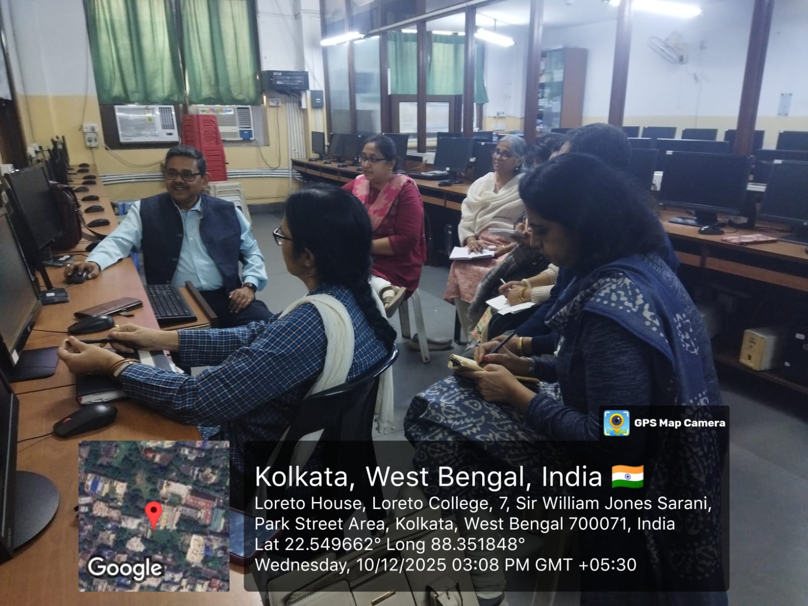
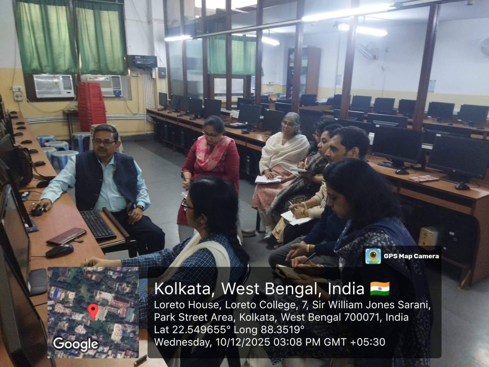
The Department of Geography, in collaboration with the Internal Quality Assurance Cell (IQAC) of Loreto College, organized a faculty development workshop titled Applied GIS Using QGIS on December 10, 2025, at 2:00 PM onwards in the college premises. The workshop was conducted by Mr. Pankaj Chakraborty from the 21st Century GIS Academy and was designed to strengthen the geospatial skills of the faculty members. All faculty members of the Geography Department participated enthusiastically in the session. The purpose of the workshop was to enhance practical understanding of Geographic Information Systems (GIS) using the QGIS software, with a focus on hands-on learning, real world applications, and technical skill development relevant to academic and research activities. The session began with fundamental yet applied modules of QGIS. Participants were introduced to image referencing techniques, including the keyboard method and image to-image georeferencing. The workshop then progressed to the creation of vector or shapefile layers, followed by digitization of administrative boundaries. Faculty members practiced adding and joining attribute tables, as well as editing vector layers to improve the accuracy and structure of spatial data. In the second half of the workshop, attention shifted to advanced geospatial analysis. Participants learned vector overlay techniques such as buffer creation and polygon-on polygon overlay using the intersection method. These advanced tools were demonstrated through practical examples, including their use in flood zone delineation and similar spatial problem-solving scenarios. The workshop further covered digital image processing components, focusing on supervised classification of satellite imagery, accuracy assessment procedures, and post-classification analysis for deriving meaningful thematic outputs. The workshop was highly interactive, with hands-on practice and real-time demonstrations that allowed faculty members to develop confidence in using QGIS for spatial analysis. The event successfully enhanced the technical proficiency of the department's faculty, equipping them with both foundational and advanced GIS skills applicable in teaching, research, and geospatial project work. The Department of Geography and IQAC conveyed their appreciation to Mr. Pankaj Chakraborty for conducting an insightful and skill-building workshop that contributed significantly to faculty capacity enhancement.


 ANNOUNCEMENTS